Besides the official negotiations and speeches, the U.N. Climate Change Conference in Bali that I've been attending also provided opportunities for sharing new research and ideas. Two subjects dominated the schedule: adaptation and forestry (no doubt reflecting the preferences of our Indonesian hosts). Here I briefly discuss the use of climate models in adaptation -- a critical issue for those in the development community. [In a separate post to follow I'll note some new efforts in the measurement and monitoring of forest carbon.]
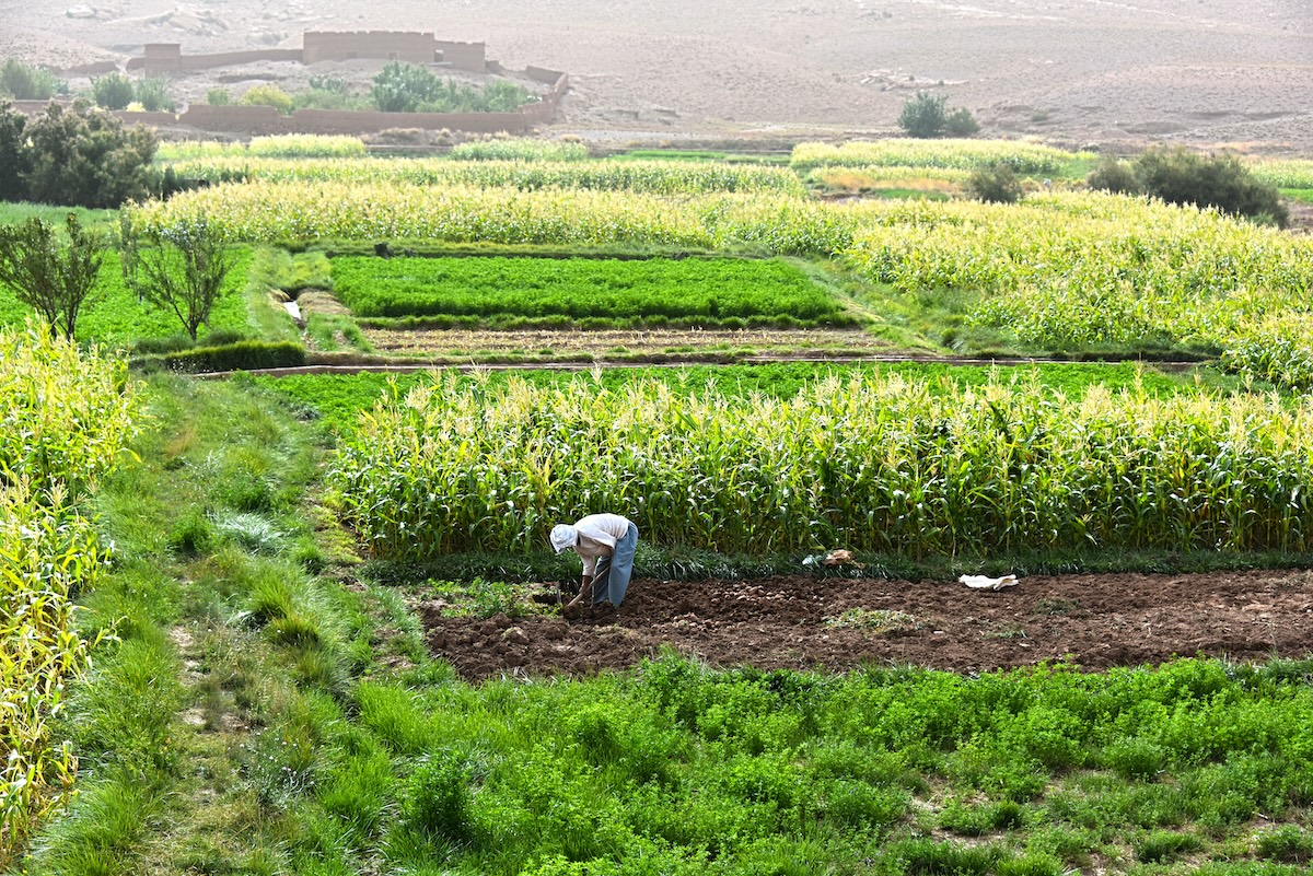
It is obvious that societies will have difficulty adapting to coming climate change without better information on the magnitude and location of expected climatic impacts at the local level. Identifying the problem spots is only the first step. Detailed projections on a range of natural phenomena are critical to choosing the appropriate intervention.For example, if the glacier that feeds your local river basin is disappearing, it's easy enough to see you have a problem. But how you respond will likely depend on what is expected to happen to precipitation, runoff, groundwater recharge, and evapotranspiration as well as seasonal trends in temperature and snowpack accumulation that will impact the rate of deglaciation. The decision to build a dam, expand groundwater extraction, or switch to an entirely different water source is affected by that information.
At present, the deployment of modeled climate projections at the regional or local scale is quite limited. In general, the spatial resolution provided by existing global circulation models (GCMs) is inadequate for local-scale adaptation and planning. Increased temporal resolution is also critical for particular applications. Adequately understanding changes in crop yields, for example, requires projections of overnight temperatures, not just daily means.For the research community, there are three approaches to addressing this handicap. 1) Statistical "downscaling" of existing GCMs to increase the spatial and temporal resolution of the output. A good example of this technique is a study led by Stanford's Ros Naylor on the effects of climate variability on Indonesian rice cultivation. 2) The development of country or regional climate models that are "nested" within GCMs. A new 5-year research program at the UK's Hadley Centre will focus on improving this kind of work. 3) The creation of next-generation, high-resolution GCMs. The U.S.'s National Center for Atmospheric Research (NCAR) has plans to run a high-resolution version of its own GCM at Japan's Earth Simulator Center, which houses one of the world's fastest supercomputers.
Each approach has its own strengths -- usually reflecting an inherent tradeoff between accuracy and required computing power. I'm particularly excited about the prospects for high-resolution GCMs. I've been told we might expect output from the NCAR/Earth Simulator exercises in a couple of years.
That gives the social science/development community an idea of how much time it has to get ready. Once the local-scale climate projections are available, we'll need research tools able to turn the raw data into actionable information. Issues like agricultural production, health impacts, and water availability are in need of some serious cross-disciplinary research if climate adaptation is going to be effectively addressed.
Natural scientists have been fighting the good fight on the climate front for years. Helping shape the adaptation agenda -- with an eye toward maximizing its impact on sustainable development -- is one way social scientists can provide valuable assistance as we enter a dangerous period for the world's most vulnerable societies.
CGD blog posts reflect the views of the authors, drawing on prior research and experience in their areas of expertise.
CGD is a nonpartisan, independent organization and does not take institutional positions.