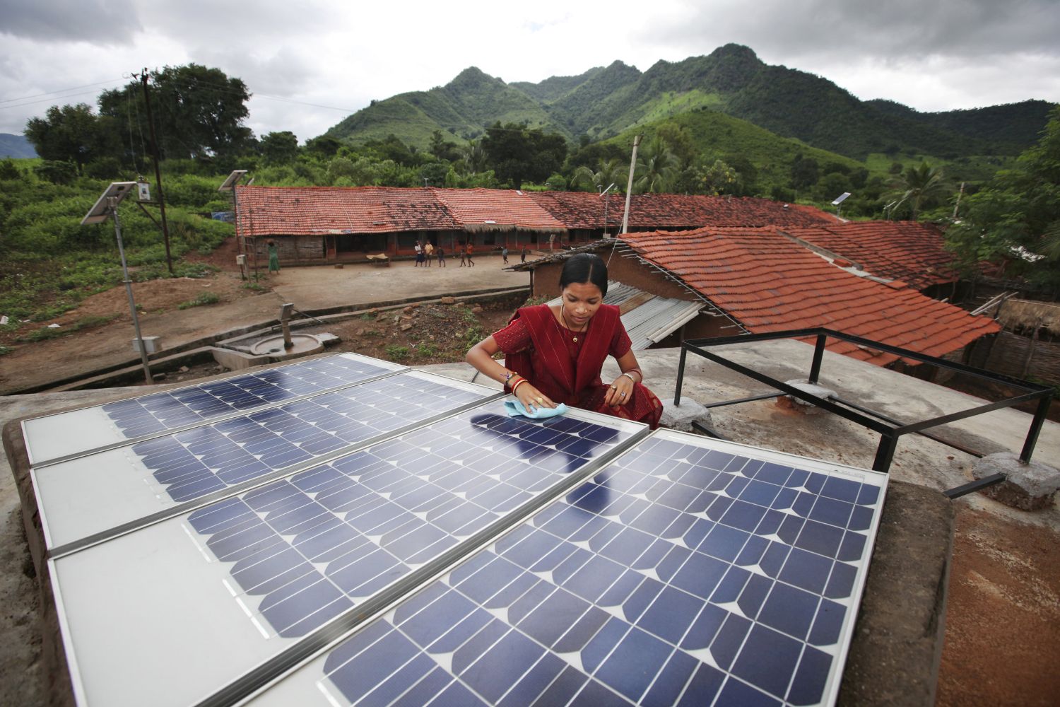
Over 100 countries have adopted national renewable power targets, with particular focus on wind and solar power (WSP). WSP offers many socioeconomic and environmental benefits but it has two major drawbacks: 1) it's comparatively costly and 2) it's not always available when we need it (i.e. intermittency).
While the upfront costs of WSP continue to fall over time, the cost of maintaining power system reliability in the face of intermittency will increase as WSP expands. In South Africa, where the government is pursuing aggressive WSP targets, penetration is expected to reach 30-40% by 2040 (WSP penetration in the U.S. was just over 6% in 2011). Fully understanding the implications of these changes requires heaps of data and new analytical tools.
South Africa and other countries face a common challenge: how to turn laudable aspirations into concrete plans. This is an exceptionally complex task, and it hinges on the question of how and where to deploy WSP. Well-designed deployment strategies can take advantage of natural variability in wind and solar resources across space and time to minimize costs and maximize benefits, while ensuring reliability.
In my current research, I model the expected generating efficiency of onshore wind, photovoltaic (PV), and concentrating solar power (CSP) technologies across South Africa at hourly resolution over a 10-year period and use the data to simulate power sector scenarios for the year 2040. Genetic search techniques are used to identify specific WSP spatial deployment strategies that minimize the cost of reducing CO2 emissions, while maintaining system-wide reliability.
A paper is in the works. Meanwhile, below are examples of the kind of information such analyses can provide. I believe that low-cost data, modeling, and visualization tools could inform early-stage planning in many countries, creating data-driven roadmaps to help coordinate WSP project siting, transmission and infrastructure planning, and demand-side management efforts.
Figure 1: Modeled hourly generating efficiency for utility-scale PV facilities. This animation displays a small subset of hourly results for March 1-3, 2005 between 5AM and 8PM. Understanding the complex behavior of WSP technologies across space and time – and how that behavior interacts with electricity demand and other generating technologies – requires spatiotemporal information derived from high-resolution meteorological data.
The data used to generate these results includes 10 years of hourly, high-resolution solar radiation data from the Satellite Application Facility on Climate Monitoring and synchronized, moderate-resolution meteorological data from NASA's Goddard Earth Observing System (GEOS-5) climate model. Using these inputs, the hourly performance of utility-scale PV systems is modeled using the National Renewable Energy Laboratory's System Advisor Model (SAM) for ~260 sites. Those results are spatially interpolated for each hour, using a universal kriging model with high-resolution global horizontal irradiance as a predictor.
Figure 2: Mean winter-evening (MJJ; 5-8PM) generating efficiency for onshore wind farms in the southwest region. Peak load in South Africa occurs during winter evenings. During this period, the most efficient onshore wind farm sites are expected to operate at only ~30% of capacity, with the best sites located ~130 km southeast of Cape Town. The spatiotemporal behavior of WSP resources during periods of peak demand is particularly important from a system reliability standpoint. Excluded areas (white) are those where terrain or other considerations (e.g. proximity to population, cropland, etc.) are likely to make deployment impossible.
The input data include 10 years of hourly, moderate-resolution wind speed/direction and air density data from NASA's Goddard Earth Observing System (GEOS-5) climate model combined with long-term, high resolution wind speed distributions based on numerical weather modeling conducted by the Wind Atlas for South Africa (WASA) project.

Figure 3: Hypothetical WSP spatial deployment in 2040. The map shows installed capacity by location and technology. This is only an un-optimized “toy” example to illustrate simulation output. The underlying model, however, can utilize genetic search algorithms to identify deployment patterns that minimize the cost of CO2 abatement (or other metrics of interest), subject to reliability, cost, and technical constraints. The model combines assumptions about the quantity, type, and cost of various WSP and conventional technologies with hourly electricity demand and 10 years of hourly WSP generation data to simulate system cost, emissions, and reliability.

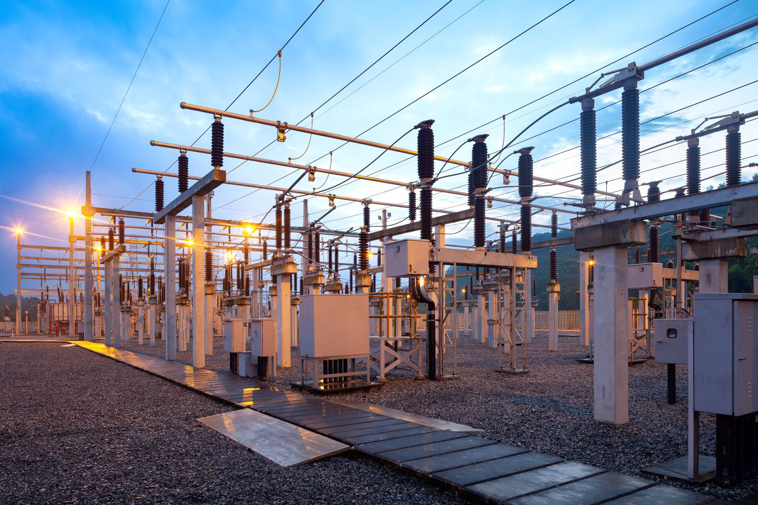
Figure 4: Hypothetical mean contribution of different generating technologies to overall supply in 2040, by season and hour. Results reflect the pattern of WSP distribution in Figure 3. The model takes the WSP electricity production implied by a given deployment pattern and adjusts conventional backup capacity to ensure a specified level of system reliability, accounting for hour-to-hour intermittency (over 10 years of data) and the probability of unexpected mechanical failure. Notice the use of gas turbines (OCGT and CCGT) during morning and evening periods (especially in winter) to accommodate for a lack of WSP output at those times.
Given the assumed deployment pattern, wind power generation is strongest during the middle of the day, but the system is most stressed by high load in the mornings and evenings. During early mornings (e.g. 5-8 AM in winter), PV and CSP systems are not yet generating electricity, requiring the use of gas-fired back-up generators. It may be possible to deploy wind farms across space in a way that increases early-morning generation. This could reduce the need for (and cost of) gas-fired back-up capacity. However, such a change might result in lower wind power output at other times, prompting an increase in coal power use and associated CO2 emissions – and possibly increasing the overall cost of CO2 abatement. Detailed modeling and optimization techniques offer the ability to quickly assess such issues and, if possible, identify deployment patterns that ameliorate problems and reduce costs. The complexity of the potential trade-offs is staggering, emphasizing the need to explicitly model systems with an eye towards optimizing critical metrics like the cost of CO2 abatement.

Topics
DISCLAIMER & PERMISSIONS
CGD's publications reflect the views of the authors, drawing on prior research and experience in their areas of expertise. CGD is a nonpartisan, independent organization and does not take institutional positions. You may use and disseminate CGD's publications under these conditions.