When a tree falls in a forest, does anyone realize that it’s fallen?
You might be surprised to learn that until now, the answer to this question has basically been “no.” In an age when Google Street View lets us watch our neighbors mow the lawn or walk the dog, data on the world’s forests has been stuck in the Typewriter Age. Cross-national data on deforestation has been limited to the inconsistent numbers that countries self-report once every five years to the Food and Agricultural Organization’s Forest Resources Assessment. The lack of reliable data has posed a severe obstacle to conserving tropical forests for climate and development, since in the words of an old saying, “if you can’t measure it, you can’t manage it.”
Related Work
Twelve Takeaways from the IPCC Report (Blog)
Warsaw Delights on Tropical Forests (Blog)
Carbon Fund Pioneering Multilateral Payments for Forest Carbon in a Bottom-Up Climate World (Blog) br/>Tropical Forests for Climate and Development (Initiative)
FORMA (Initiative)
Donors and a Data Revolution (Blog)
Data for African Development (Working Group)
But this all changed on Thursday, with the launch of Global Forest Watch—a dynamic online forest monitoring and alert system created by the World Resources Institute with over 40 partners, including Center for Global Development.
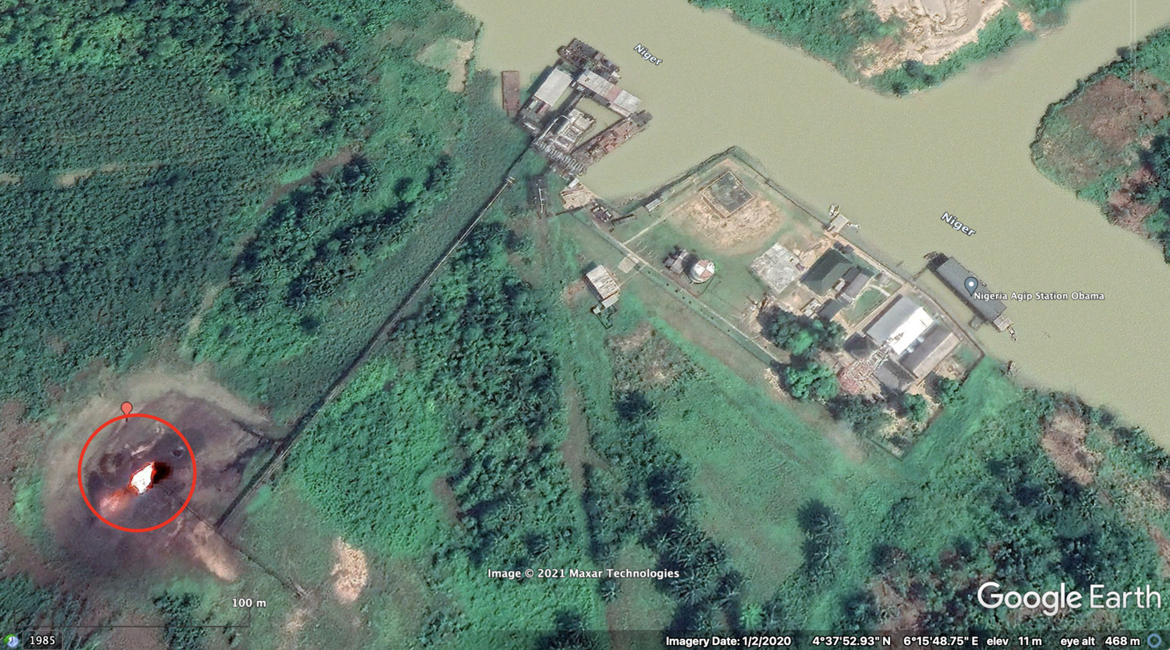
At the heart of Global Forest Watch is a map produced by scientists at the University of Maryland and Google showing everywhere on the planet that forests have been cut down or regrown for the last twelve years. The map uses annual satellite technology from NASA and the US Geological Survey to pinpoint areas of deforestation the size of a baseball infield.
What the map shows isn’t good. The Earth has lost 2.3 million square kilometers of forest in the last twelve years—an area the size of all US states east of the Mississippi River combined—while gaining an area of forest only one-third this size. Not only that, but the pace of deforestation, 50 soccer fields a minute, is actually increasing. In every country but one, deforestation is steady or on the rise. Every year we’re losing more and more of the forests that protect us from climate change, clean our water, keep us healthy, and keep us safe.
Nor is the damage to forests limited to tropical countries like Indonesia, which lost 90,000 sq km of forest from 2000-2012. The new data reveals that the US, Canada and Russia have lost more than 300,000 square kilometers of forest combined, even while they have reported gaining 40,000 square kilometers to the FAO, taking advantage of a loophole in the international definition of forest through which logging areas can be counted as “temporarily unstocked” forest even if there are no longer trees there. China reported gaining 300,000 sq km of forests, while data shows it lost 30,000 sq km.
Figure 1. FAO FRA net forest area change, 2000 to 2010, versus Landsat-derived net change, 2000 to 2012. Source: Hansen et al, Science, 2013.
But while the news isn’t good, the possibilities that this new data heralds are something to cheer about. Remember how I said deforestation is going up in every country but one? That one country is Brazil. For decades the Brazilian Amazon was ground zero for runaway deforestation (Brazil lost 220,000 sq km of forest from 2000-2012). But Brazil’s success in bringing its deforestation frontier under control in recent years has been astonishing. Rates of deforestation in the Brazilian Amazon have fallen nearly 80% from a high of 27,800 sq km in 2004 to 5,800 sq km in 2013 (even after a 28% spike from a low of 4,600 sq km in 2012). Importantly, Brazil’s agricultural growth has been largely decoupled from deforestation. Over the same 2004-2012 period, soy and cattle production increased by 33% and 21% respectively.
Fig 2. Deforestation in Brazilian Amazon (INPE); Brazil soy production (FAOSTAT); Brazil cattle production (FAOSTAT)
While many factors contributed to Brazil’s success in reducing deforestation (including a voluntary moratorium on deforestation by soy growers, a change in how land title is granted, and stepped-up forest law enforcement), there is no doubt that Brazil’s success was underpinned by two satellite technologies from INPE, the Brazilian Space Agency. The first satellite program, called DETER, sends out alerts of where deforestation is happening across the Amazon every two weeks. This technology allows Brazilian authorities to match illegal clearing to specific properties and to enforce forest laws. Economists at the Pontifical Catholic University of Rio de Janeiro reckon that deforestation in the Amazon would have been 59% higher without the DETER program. The other program, called PRODES, provides accurate numbers for exactly how much deforestation has happened and where, on an annual basis. So as Brazil ramped down its deforestation year after year, it could showcase its success to the rest of the world, and receive performance-based payments from Norway into the Amazon Fund.
Up until now these data sets were available nowhere else in the tropics. But now Global Forest Watch has put PRODES-like data in the hands of every forest country, every scientist, and every forest campaigner worldwide. And Global Forest Watch has now made DETER-like data available pan-tropically too, thanks to a program called FORMA that was first developed right here at CGD.
Now when a tree falls in a forest, Global Forest Watch lets the whole world know that it’s fallen. And now reducing deforestation the way Brazil has is within the reach of every country.
DISCLAIMER & PERMISSIONS
CGD's publications reflect the views of the authors, drawing on prior research and experience in their areas of expertise. CGD is a nonpartisan, independent organization and does not take institutional positions. You may use and disseminate CGD's publications under these conditions.